DGPS/Drone Survey
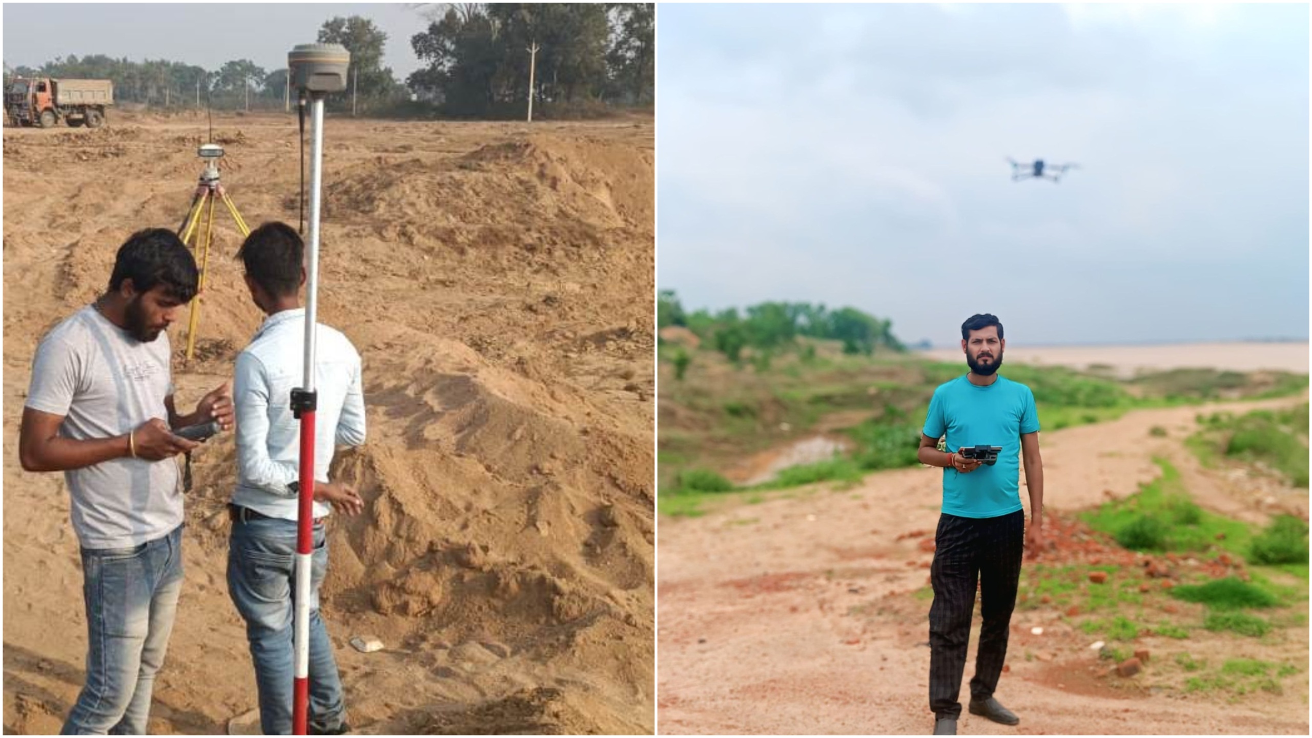
Differential Global Positioning System (DGPS) and drone surveys represent cutting-edge technologies that revolutionize land surveying, mapping, and data collection. Our DGPS and drone survey services provide highly accurate geospatial data with unprecedented efficiency and precision, enabling better decision-making for various industries including construction, agriculture, mining, and environmental management.
Our advanced surveying solutions combine the centimeter-level accuracy of DGPS with the high-resolution imagery and flexibility of drone technology to deliver comprehensive survey data. This integrated approach allows us to cover large areas quickly while maintaining exceptional data quality, reducing both time and costs compared to traditional surveying methods.
Our DGPS/Drone Survey Services Include:
- Topographic Surveys: Detailed terrain mapping with elevation data
- Volumetric Calculations: Precise stockpile measurements for mining and construction
- Land Parcel Mapping: Accurate boundary surveys and cadastral mapping
- Infrastructure Inspection: Detailed assessment of buildings, bridges, and utilities
- Agricultural Surveys: Crop health monitoring and precision farming support
- Environmental Monitoring: Ecosystem assessment and change detection
- 3D Modeling: Creation of digital terrain models and orthomosaics
Our team of certified surveyors and drone pilots uses state-of-the-art equipment to ensure compliance with all regulatory requirements while delivering data in formats compatible with major GIS and CAD platforms. Whether you need a one-time survey or ongoing monitoring services, we provide customized solutions tailored to your specific project requirements.